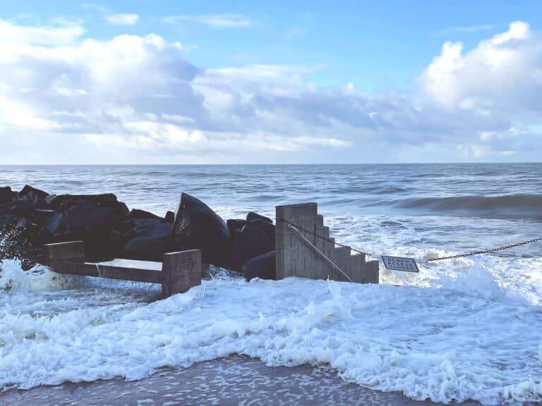
Beach access point at Hayes Street in South Oceanside, San Diego County, California, February 2024. [California King Tides Project 2018-2025, California Coastal Commission; no direct links, explore by date and location]
On an overcast, cool morning in August 2023, Rosa Bautista and I were chatting on Escondido Beach in Malibu, California. Bautista asked me to take her photo. She stood in front of a white, wooden deck attached to a multi-million-dollar home. I carefully framed the shot: Bautista, the deck, the house in the background, and a hand-painted sign reading “Private Beach.”
Bautista was then Chief Advisor & Executive Operations Manager at Mujeres de la Tierra, an L.A.-based environmental justice organization. She was there that morning preparing for a beach visit from residents of majority-Latinx Los Angeles neighborhoods, including Cypress Park and Lincoln Heights. Mujeres de la Tierra organizes these visits a handful of times over the course of a summer; soon, about a dozen families would arrive, with children of all ages.
Outings to the beach should be enjoyed by all Angelenos, but unfortunately, that’s not been the case.
Many of the adult and teenage attendees at Mujeres de la Tierra events — sometimes as many as 70 percent — are visiting the beach for the first time. This shouldn’t be true. The attendees live only about 30 miles from Malibu, one of the most striking coastlines in the world, and there’s plenty of space — 27 miles of public coast in Malibu alone. Outings to the beach should be enjoyed by all Angelenos, but unfortunately, that’s not been the case. For reasons related to structural racism and poverty, Los Angeles’s Latinx residents are particularly beach-deprived.
I was there with Bautista as a volunteer for the day. As we put up tables and umbrellas, she eyed the “Private Beach” sign and told me more about the backstory. At the last Mujeres de la Tierra event in this location, she said, shaking her head, there was another sign, “even bigger,” placed directly on the sand. 1 Many surrounding houses had similar signs, likely distributed by their homeowners’ association, that read, “Private Property to the Mean High Tide Line — Public Area is at Each End of Beach.” The signs were obviously meant to intimidate beach goers and give the impression that they were doing something wrong by sitting on the beach. Indeed, I watched as that message was reinforced in a variety of ways.\
Around mid-morning, a man appeared who Bautista and her staff had seen before and nicknamed “Smiley.” An older White man, casually dressed, Smiley stood on his deck scowling. Then, after the families arrived, and we started passing out beach towels and sunscreen, fitting the kids for wetsuits, and sharing coffee and donuts, Smiley started taking pictures. Like the home’s signs, the gesture was meant to intimidate. Later in the afternoon, a uniformed private security guard passed through. He mostly ignored us, but he made a group of local fishermen not far from our tables move their poles and coolers a few feet closer to the ocean.
I was struck by how much surveillance was packed into a small strip of sand.
Given that the event lasted only a few hours, I was struck by how much surveillance was packed into a small strip of land and directed toward families with children — people who were doing nothing malevolent. Bautista was less surprised. In fact, she’d come prepared. Mujeres de la Tierra had asked a Mountains Recreation and Conservation Authority ranger to also attend the event, so that if a confrontation escalated, the ranger could clarify what was public land and what was private. The ranger, Evan Sichan, took his job seriously. He had maps loaded onto his phone and was prepared to defend our right to be there. He was also cognizant of the racial dynamic between Malibu homeowners and Mujeres de la Tierra’s beachgoers. And yet, his job was not as clear-cut as it might seem. Sichan was tasked with defending a property boundary that is not fixed in place. In fact, there is no firm line between public and private land on the California coastline.
A foundational assumption of private property law is that land is static enough to be mapped, gridded, and divided. The trouble with this assumption is that the space where the ocean meets the sand is ambulant — ambulant always and by definition, although as climate change accelerates, the degree of ambulation increases at pace.
The method sanctioned by the U.S. Supreme Court for calculating the boundary between public coast and private land is practically useless in the State of California today. A 1935 court case, Borax Consolidated Ltd. v. City of Los Angeles, determined that the boundary is set by the mean high tide line, calculated over a period of 18.6 years. 2 The number 18.6 was determined by the court to be the length of time in which there might be a measurable change in sea level. 3 The ruling offers the illusion of precision. Over a period of 103 months and six days, simply measure where the mean high tide intersects the beach (a calculation that combines the horizontal reach of the tide with the vertical depth of the tide), draw the average, and there it is. But for a variety of reasons, that’s not what happens in practice.